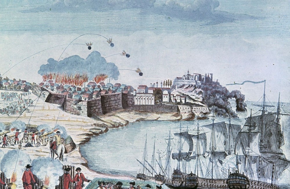
The aim of this paper is to publish and analyze a number of cartographic materials created by French topographers, hydrographers, and military engineers in Ochakiv and its outskirts during two expeditions of Major (Lieutenant Colonel) André-Joseph de Lafitte-Clave (23.02.1740 — 01.01.1794). A sea voyage along the shores of the Black Sea, during which Ochakiv was explored on June 5-27, 1784, and large-scale reconstruction of its fortifications, which was carried out in May — November 1787, are described and analyzed in the paper. The scientific novelty is in the introduction into scientific circulation of maps and town plans of Ochakiv and its surrounding areas, drawn during the above-mentioned expeditions, which remained almost unknown for over two centuries. The cartographic materials of those expeditions, which are stored in the archives of the French Republic and the Russian Federation, have so far been published in a very fragmentary manner, although other written sources of those missions (reports, travelogues, and correspondence) are much better known. But recently, ‘Gallica’, the website of the National Library of France (BnF) and its partners, has uploaded many maps and town plans of Ochakiv and its outskirts of the late 19th century, which have become the basis of this research. The paper also has a separate appendix named ‘List of Cartographic Materials and Their Descriptions of Ochakiv and Its Outskirts, Created by Expeditions A.-J. de Lafitte-Clave in 1784 and 1787’, which gives the nowadays places of storage of listed materials. In the course of the study, it has become possible to add much to our knowledge on history and archaeology of Ochakiv region, as the maps provide a significant amount of unique information on the geography and hydrography, oikonymy, and toponymy of this territory, as well as the location of some archaeological sites (a number of mounds and ancient settlements). Also, there is a planigraphy of Ottoman fortifications and town buildings, and the projects for the reconstruction of fortifications and construction works actually carried out under the supervision of A.-J. de Lafitte-Clave.
Source: Sapozhnykov І. (2022). Ochakiv and Its Outskirts on Maps and Town Plans of A.-J. de Lafitte-Clave Expeditions of 1784 and 1787. Eminak: Scientific Quarterly Journal. 1(37): 25-45
Source web-site: https://eminak.net.ua/index.php/eminak/article/view/569/393
Number of views: 1933