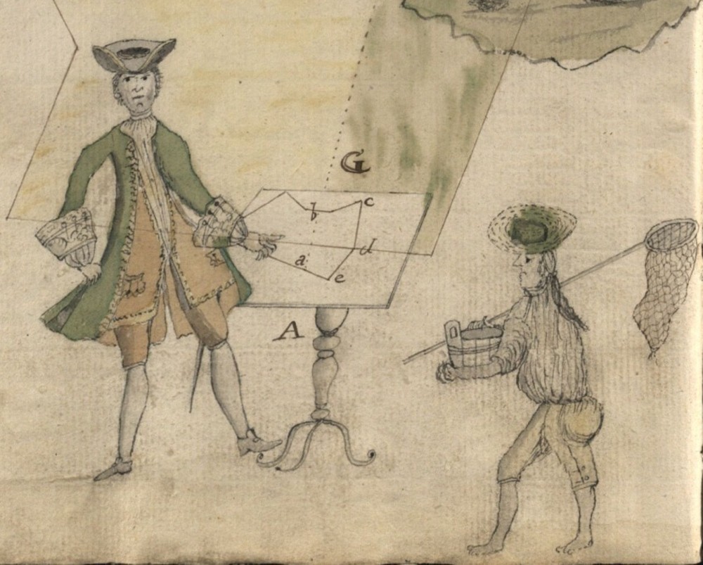
The publication analyzes a little-known Liubech plan described by Abraham van Westerveld in his report on Janusz Radziwiłł’s march to Kyiv in 1651. The latter was a Lithuanian hetman. The article concerns topographic drawings and geodetic tools used in that time. Modern topographic plans and early modern ones are compared (including respective mistakes). The drawing meets the West European cartographic school: orthogonal projection without decoration and description. It combines fortifications, separate buildings, infrastructure objects, etc. The plan is provided with a scale and English cardinal points. Such a draft was drawn by a skilled cartographer. The above-mentioned can determine the land survey, its methods and tools. The survey was conducted after the Liubech seizure by Janusz Radziwiłł. The geodesist could get acquainted with the object and determine the stages of plan creation. The work was completed properly. There was only one deviation on the plan: the corner tower orientation shift. Besides, several surveying techniques were applied to the plan, which confirms high skills of the geodesist. The plan is almost centered. No pasting or wall direction changing are detected. Such techniques are usable for surveying unknown objects. However, plan errors themselves are typical for surveying tools and methods of the 17th century. Unfortunately, such a plan was created in a single copy. Therefore, we cannot make any assumptions about its authors.
Source: Degtyarev S.I., Osadchyi E.M. (2024). The Liubech Town Plan in 1651 by Abraham van Westerveld. Bylye Gody. 19(1): 40-47
Source web-site: https://bg.cherkasgu.press/journals_n/1709214902.pdf
Number of views: 1264