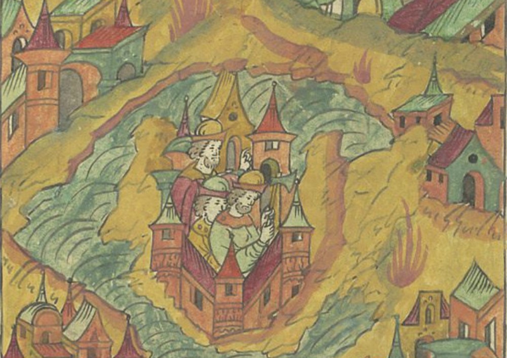
The article is devoted to the localization of the chronicle city of Uteshkov. For a long time this settlement was on the list of cities, which were difficult to localize due to the lack of mention of its location. The emergence of the city of Uteshkov dates back to ancient Russian times. It was first mentioned in the Resurrection Chronicle. The emergence of the settlement of Uteshkov is associated with the development of the Putivl appanage reign of the XII — XIII centuries. According to archeological data, its appearance dates back to the second half of the XII century, and its destruction by the Mongol invasion. Later in the documents of the 15th — 17th centuries there is data only about the Uteshkovskaya volost. Based on the analysis of the documents and the results of archaeological research, it can be assumed that the chronicle city of Uteshkov was located on the right bank of the Tern River, near the cities of Zarty, Popash and Vyakhan. This small settlement was located in the interfluve of the Sula and the Seim rivers, surrounded by more significant border fortresses of the XII — XIII centuries. After the Mongol invasion of the middle of the 13th century, these cities were burned down and abandoned by the inhabitants. As part of the Grand Duchy of Lithuania, the unsettled territories of the left bank of the Dnieper were divided into volosts, the centers of which were the fortifications of the destroyed Old Russian cities. They were the centers of possessions that were given to the Kiev and Zhitomir boyars every year. After 1500, Putivl and the surrounding lands were captured by the Muscovy, but the division into volosts and their names were preserved. In the future, the unpopulated area between the Sula and the Seim was included in the Putivl district and until the middle of the 17th century is referred to as the Uteshkovsky volost.
Source: Osadchij E. (2020) Chronicle of Utechkov Town. Gardarika. 7(1): 19-26
Source web-site: https://g.cherkasgu.press/journals_n/1615032337.pdf
Number of views: 2058